Olympic Games and Olympic waves: Cycling US Highway 101

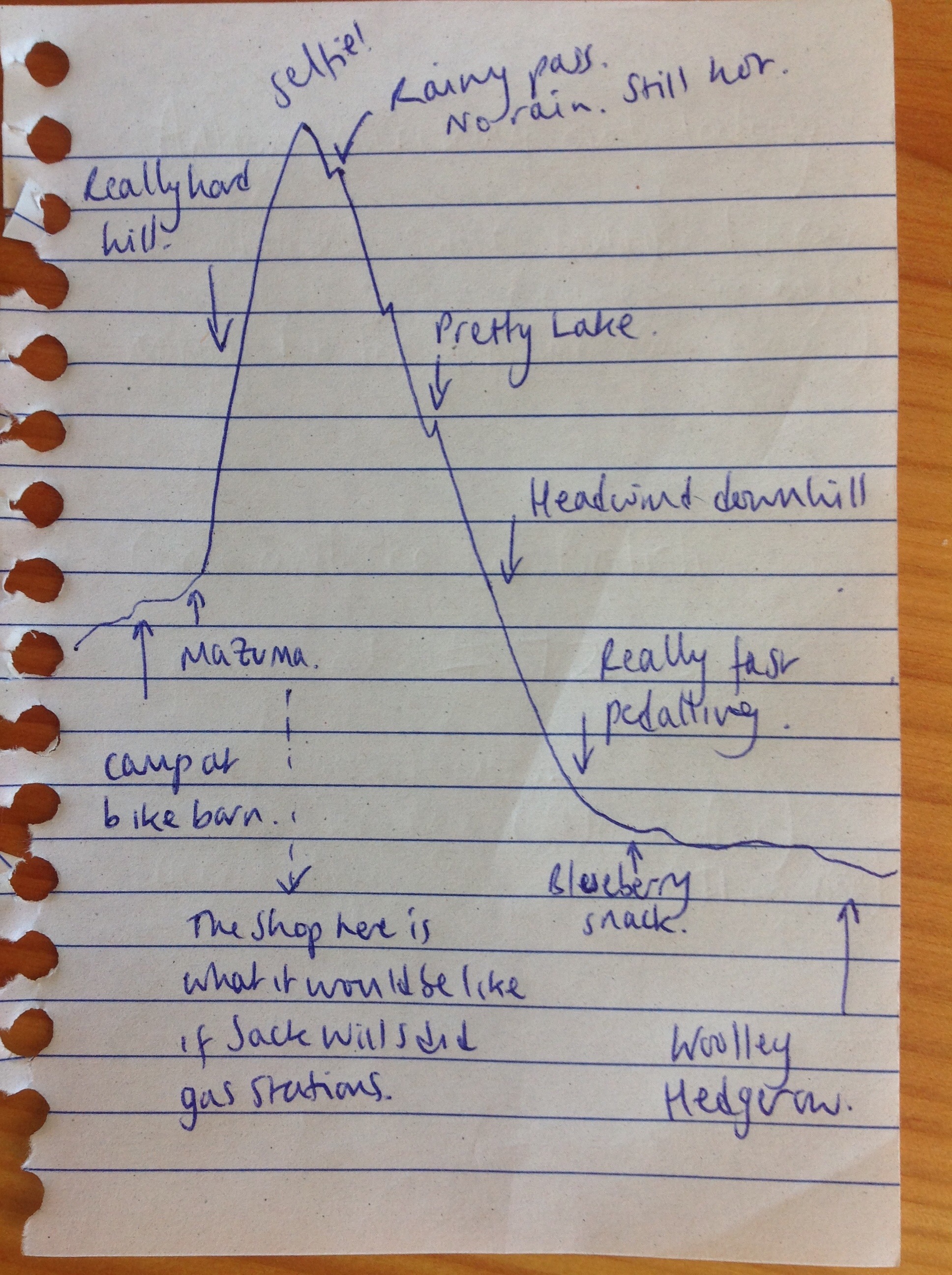
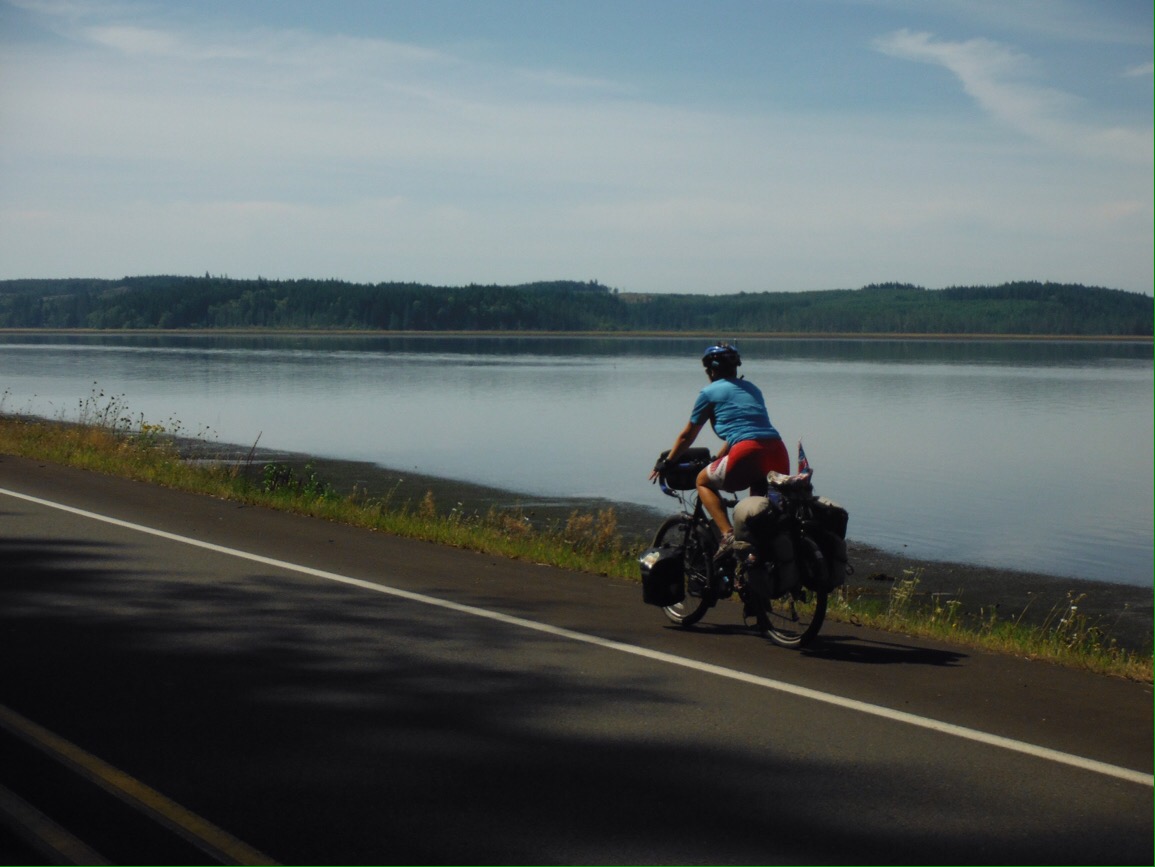
We had crossed North America by bike. So what next? The Pacific Highway (route 101) winds its way down the West coast of the USA, and all across the country people had been telling us how beautiful a drive it was. It’s also a popular cycle route, being a much shorter way (a mere 1800 miles) to cross the country than the East-West route. Six weeks riding by the sea? Ok then. It seemed like a logical next step for us. 

Vancouver, BC. Not a bad place to “rest” for a couple of weeks

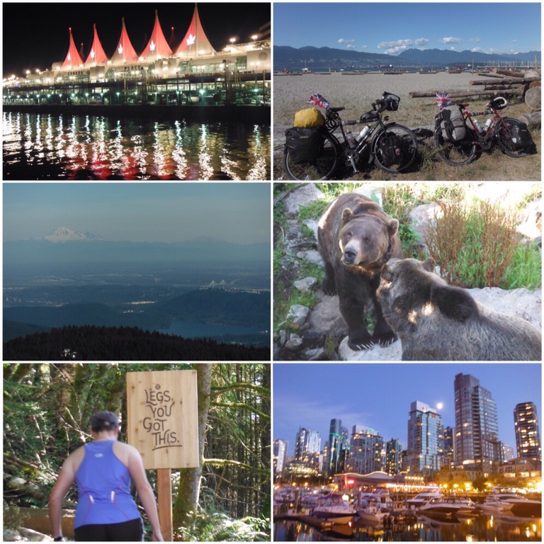
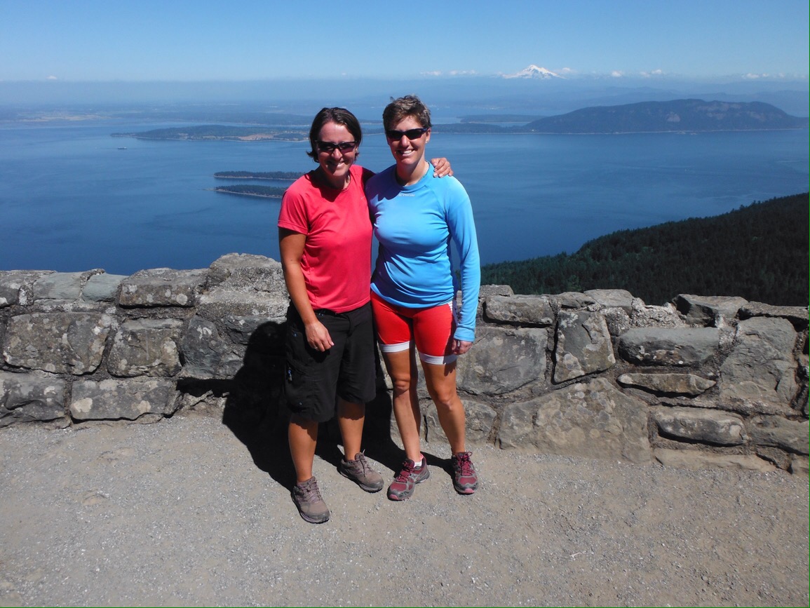
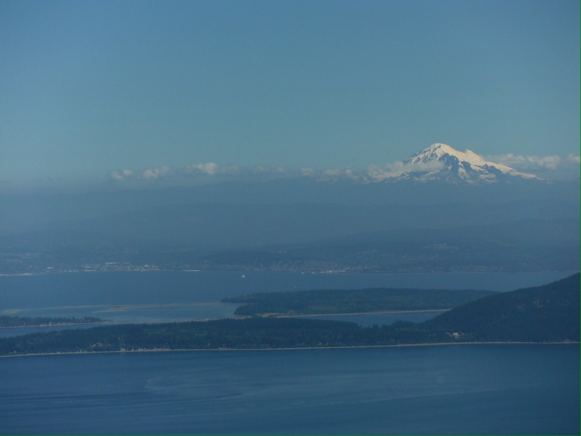
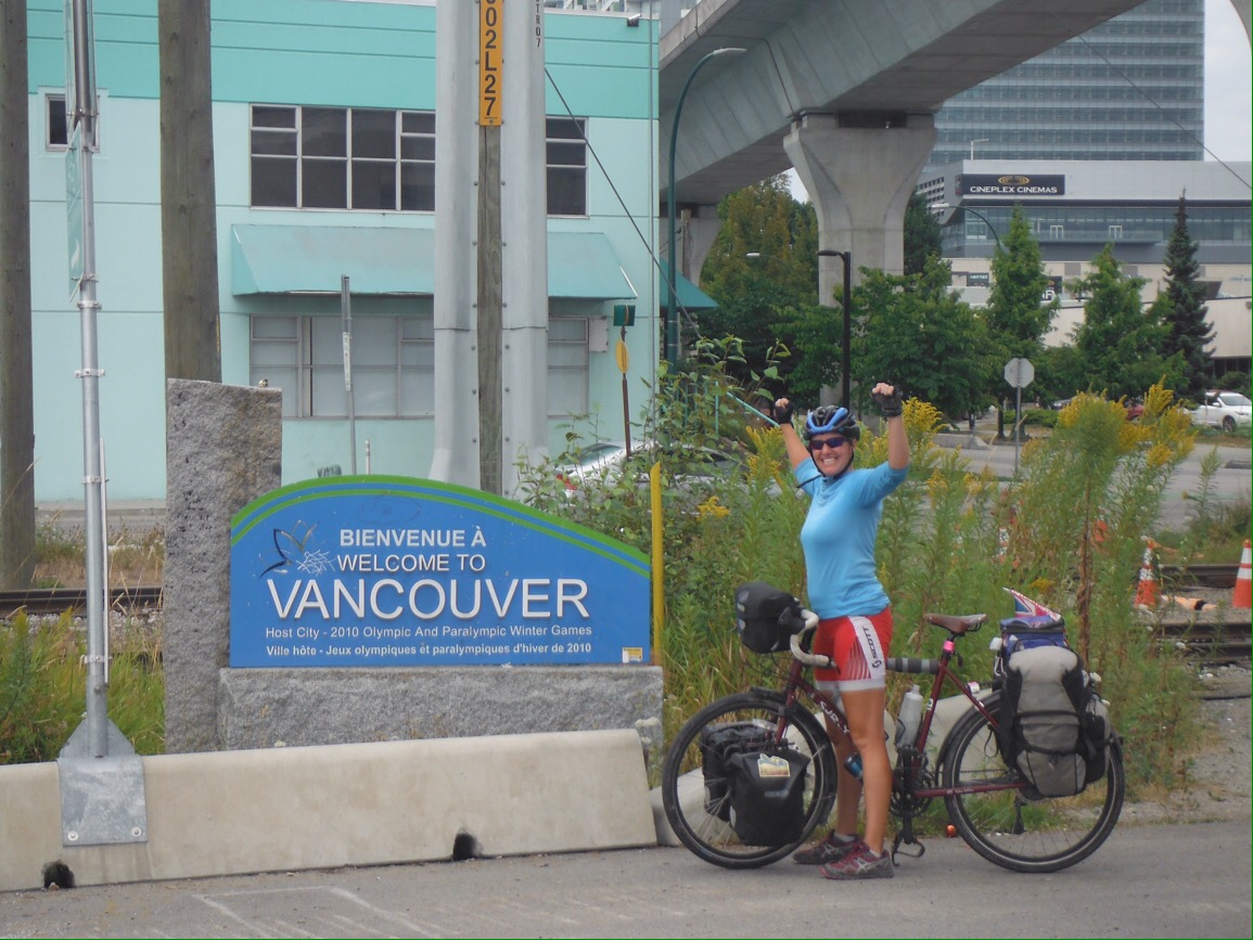
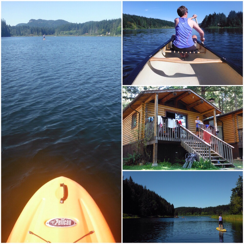
First we had some friends to catch up with in Vancouver BC, one of our favourite world cities. This coincided nicely with the Olympics, so we had a couple of weeks swapping cycling for sitting watching cycling. The last time we were in Vancouver four years ago it rained pretty much solid the whole time, but this visit we were treated to sunshine so enjoyed all that Vancouver had to offer. We climbed Grouse Mountain, saw a couple of grizzly bears, made Yorkshire puddings, went to a few different beaches, ate lots of ice cream, took part in a huge water fight… All essential tourist activities. The bikes were away and we barely looked at them. We also spent a few days on Salt Spring Island, right next to a lake perfect for swimming, canoeing, stand up paddle boarding, and relaxing. The sun continued to shine. It was all too perfect, and before we knew it two weeks had passed and it was time to get back on the bikes before we forgot how to pedal.

Hanging out by Cusheon Lake, Salt Spring Island

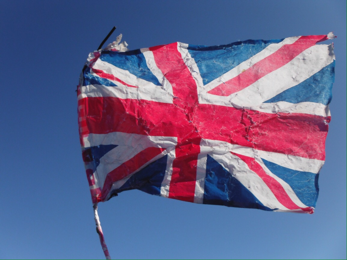
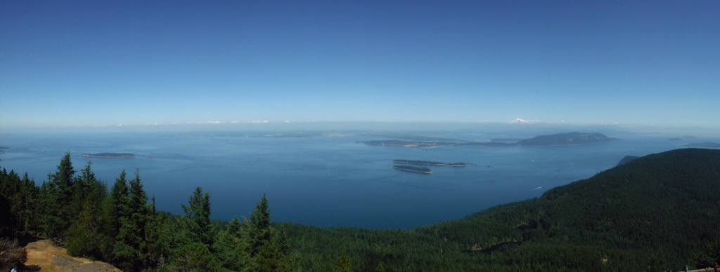
We crossed back into the USA from Vancouver Island, spending the night in Victoria – probably the most British town in British Columbia. There’s red buses and black taxis and everything. The best thing that happened there was nothing to do with British heritage though. Victoria is on the south coast of the island, and we were riding around the headland enjoying views across the sea to the USA when a guy in a car slowed down next to us and shouted that there were some Orcas (also called killer whales but they are actually the largest dolphin) on their way. We raced round to the next viewpoint and there we saw three of them passing by not far of the coast. They are huge! We felt pretty lucky as people who live there told us they had never seen them before.

The orcas were too far away to get a good picture, so here’s some killer cyclist sign instead.

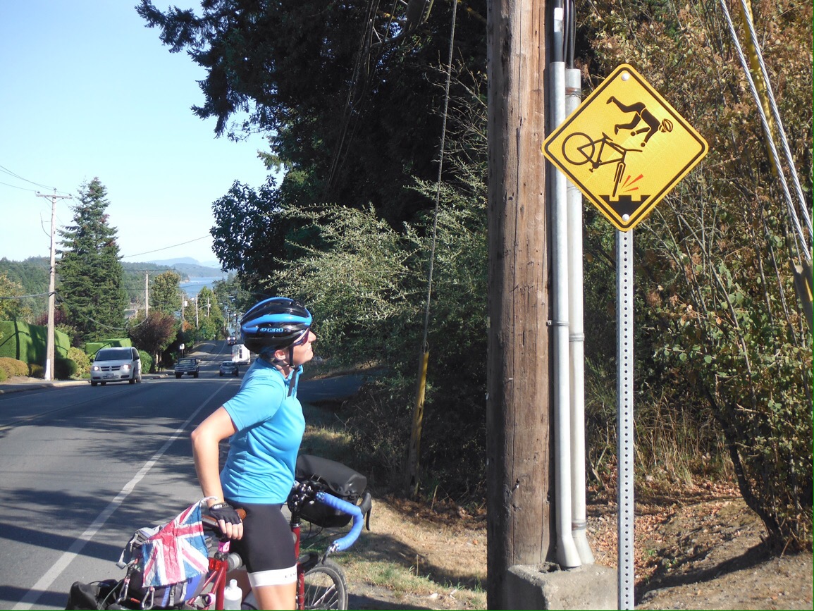
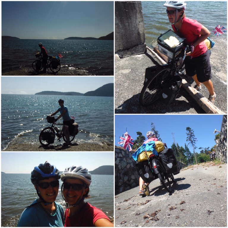
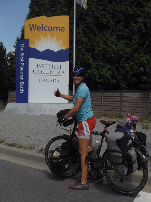
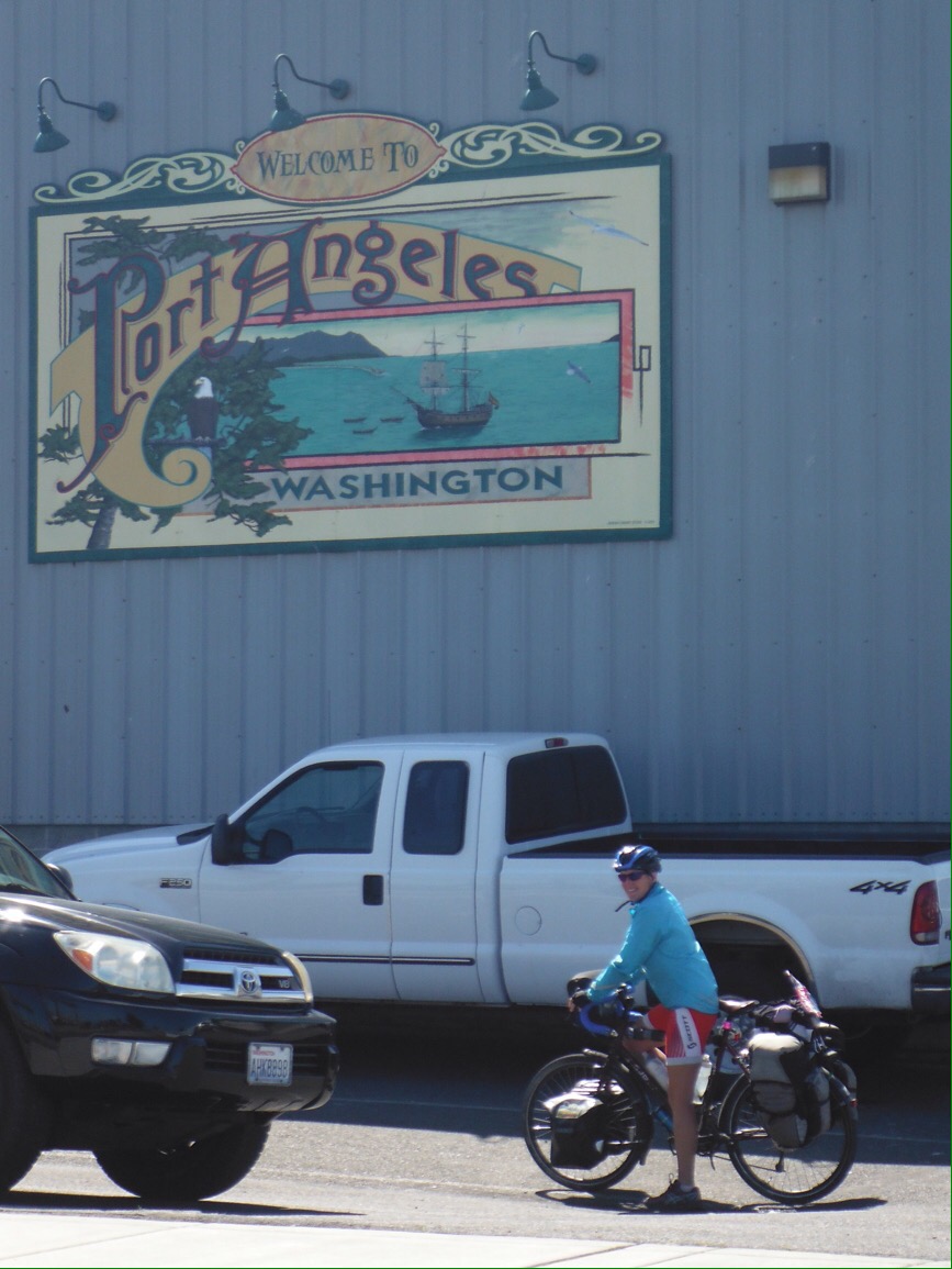
The next day we packed up and left The Best Place on Earth (British Columbia’s modest tag line) and caught a ferry to Port Angeles on the Olympic peninsula. This would mark the start of our west coast trip, ending in Los Angeles – making it an Angeles to Angeles ride. Unlike most ferries, on this one cyclists are treated as foot passengers rather than cars. Good points: no need to queue with cars to get on, no riding down into the car deck, no hanging around breathing in exhaust fumes, nice waiting room to sit in rather than standing out on the dock. Bad point: wheeling a loaded bike through passenger queues. As we had to go through customs and immigration, this was not easy. The low point was trying to manoeuvre them around the maze of bollards while queuing to get into the US. You know when you queue to check in at an airport and it can be quite hard to get your luggage around the corners? Getting a loaded bike around those corners without dropping it or taking out other passengers was quite the challenge. But we made it, and although we were sad to leave Canada and our friends behind, 1800 miles of coastline lay ahead. Pacific Highway 101 starts here and we would mostly follow it all the way to LA. 

The start of our Highway 101 trip. Next Angeles… Los!
Nice people around.

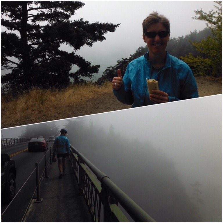
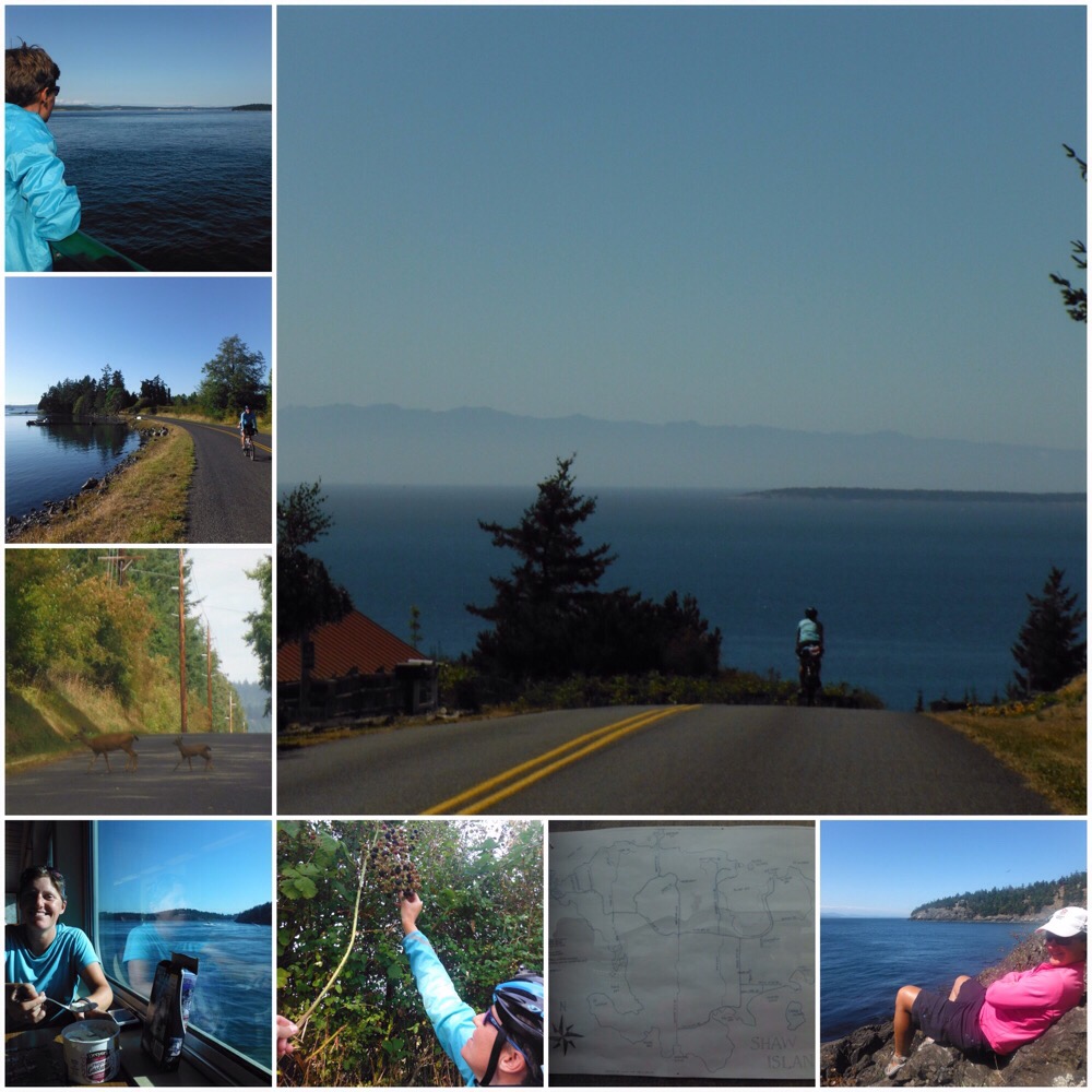
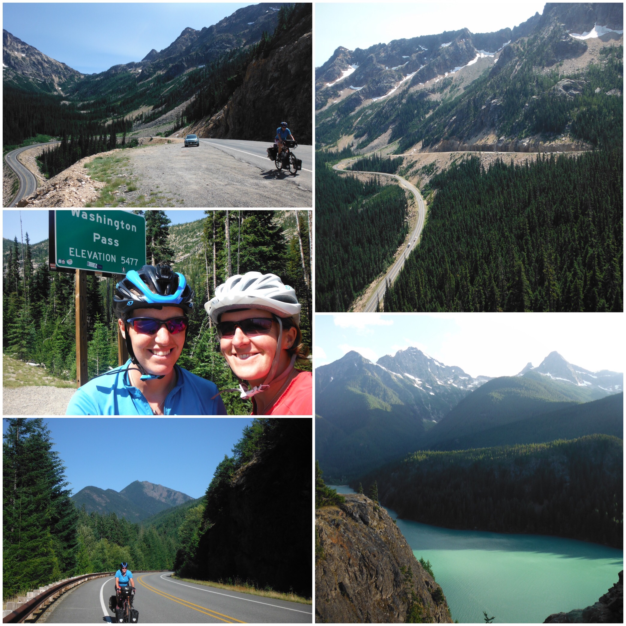
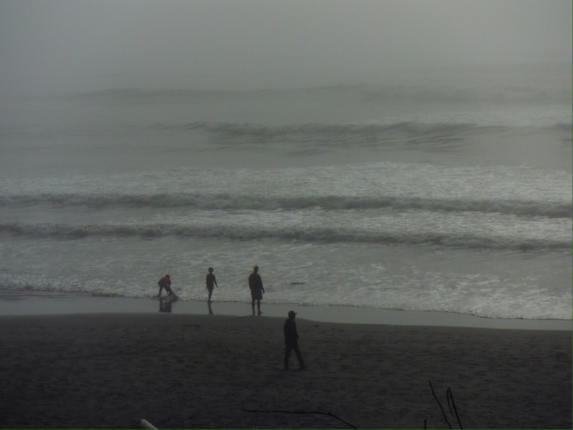
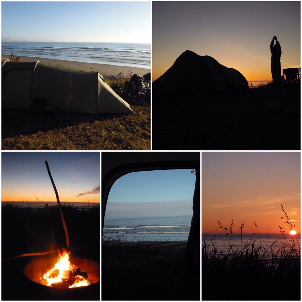
The Olympic Peninsula in Washington state is the most westerly point of the US mainland and has a wild feel to it. The forests are old and huge and the towns few and far between. The only town we passed through on our way to the West coast was Forks, famous for the filming of Twilight and seemingly living purely off this – not much else seemed to be going on. The Olympic National Park goes right up to the coast so we followed 101 in bright sunshine for the afternoon, looking forward to camping overlooking the beach and our first west coast sunset. But just as we approached the coast, we were plunged into thick sea fog. Suddenly it was freezing cold and we were stood overlooking Ruby Beach, one of the most photographed spots on the Olympic Peninsula, and though we could hear the sea, we couldn’t see a thing. As we rode south down the coastline there was the strange experience of blue sky above the trees to our left, and thick white fog to our right. Arriving at South Beach campground we were offered a spot between two RVs right on the front overlooking the fog/beach. Gradually as we set up camp it cleared and we were treated to the most spectacular sunset over the sea. This is what we had been hoping for!

The sea started to become visible when we got to the campground…
West coast sunset. Hopefully the first of many!

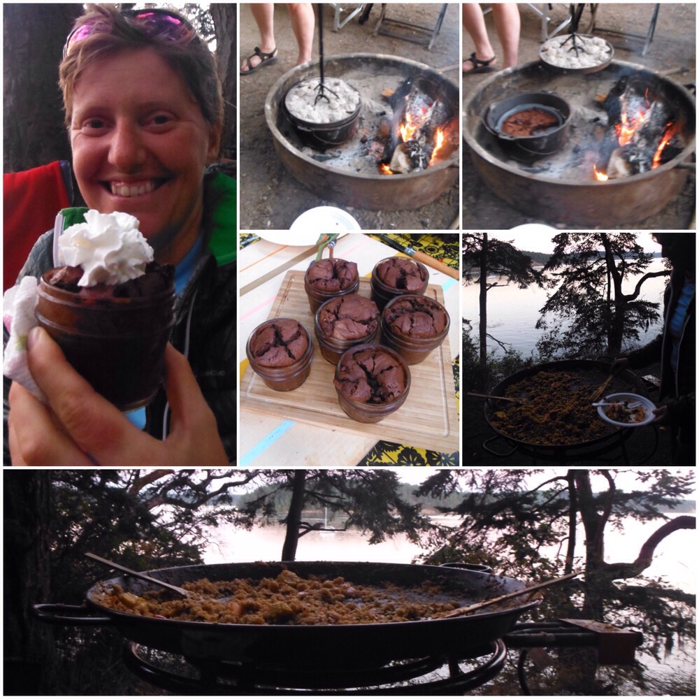
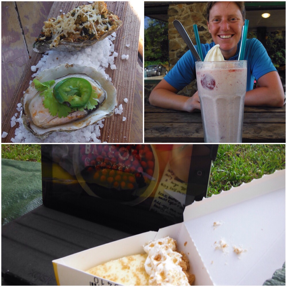
For the next couple of days to the Oregon border the road is mostly inland through more forests. One morning we stopped for a huge milkshake on the recommendation of a local. Later that day we were back by the sea again in a popular oyster catching area, so stopped to sample a couple of fresh cooked-in-front-of-you samples. Debs had a hot tijuana (chilli, lime, cilantro, tabasco) and I had the rockafella (parmesan, bacon, breadcrumbs, oregano, basil). Awesome. The day of great food was finished off with a couple of slices of key lime pie as an accompaniment to the first episode of the Great British Bake Off. The next morning our friendly camp neighbours came over to offer us breakfast burritos – we were cooking porridge at the time but we never pass up a food offer, so after a two course breakfast we were full for at least two hours that morning.

Oysters, milkshake, key lime pie, Great British Bake Off. A good day.
Cycling by the water. Whats not to like?

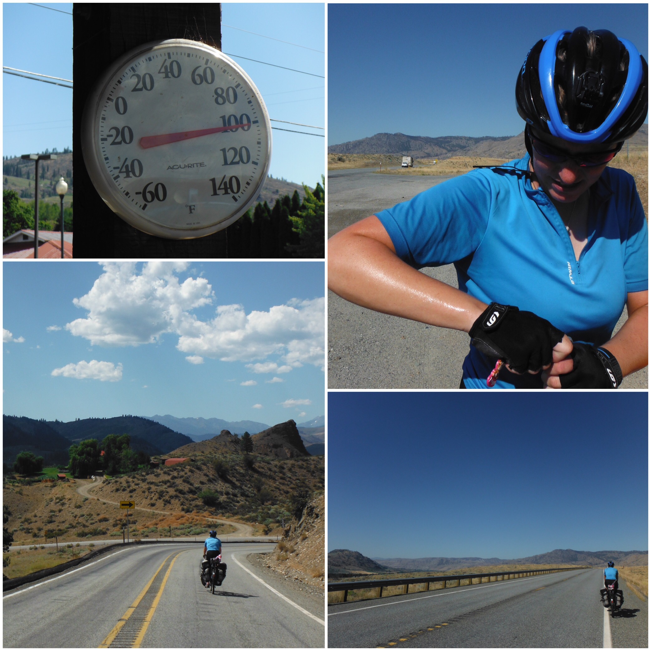
Crossing into Oregon was probably the worst cycling we have done since Naples. Highway 101 crosses the state border estuary on a narrow 4-mile bridge that was not designed with bikes in mind. The shoulder was about two feet wide, not big enough to ride in easily but big enough to make car drivers think that we should. This is a popular tourist drive, and it was Friday afternoon, so it seemed like every other car was towing either a trailer or a boat – fast. Nobody on their weekend away wanted to be delayed by a bike for a few seconds. Scary stuff. The heavy traffic continued and we were relieved to arrive to the town of Seaside and catch our breath. It had been hot again and I commented to some other cyclists that after a month of hot weather I would quite like a couple of days of cloud cover to stop my skin from frazzling. No prizes for guessing what happened next….

Entering Oregon. Preferably not by bike, but hey, that was our only way…
Wise words. Not sure about the spelling though….

Thanks to Andrea and Dave, and Robin, Dane, Riley and Sasha and all of their friends for an amazing holiday in Vancouver; Robin and friends for the great camp spot at South Beach; Marnie and John; Ray and Charlaine; and Neil and Carrie.

Pacific Island Hopping (kind of)

How to cycle across America in 3 easy steps:
1. Choose start point

2. Choose end point

3. Ride bike between the two.

Sounds easy. It is really. We love riding our bikes, and this trip is just going for a bike ride somewhere new every day. What’s not to love? If you keep going in the same direction, and do it for a long time, you can get quite far. Across a continent even.

Our flags were starting to look as tired as our bodies felt

But we made quite a basic mistake. In our eagerness to ride, we skipped step 2 and rushed ahead with step 3. Our end point was always “somewhere on the Washington coast”; as we got nearer it became defined as the small port town of Anacortes where we would celebrate with a beer before catching a ferry to explore the San Juan Islands at a slow pace for a few days. Great plan. However we looked at a map and realised that Anacortes is not west facing, so it not at “the end”. This would not do. It is however situated on a peninsula with a west-facing coast, so that was our vague end point. But even that didn’t quite go to plan.

We only had 20 miles to ride on our final day, leaving plenty of time to find a decent spot, dip the wheels in the Pacific Ocean (we had a ceremonial wheel dipping in the Atlantic in Boston) and maybe even spend the afternoon relaxing. After the hard ride across Washington we were very excited about this plan. We looked at the map, and realised we could ride a slightly longer route via Deception Pass, a famous high bridge with decent views out to the ocean. This might even fit our requirements for a West facing end point. With only 20 miles to Anacortes, what would be the harm of a little tourist detour? We had all day after all. So after a long leisurely breakfast in Burlington we rode the flat route towards Anacortes and then turned off towards Deception Pass. Uphill. On a fairly narrow, busy road. Sweating and questioning our judgement we climbed and dropped, stopped to buy a 6-pack of beer, climbed and dropped some more and arrived at Deception Pass only to find it completely covered in fog. We couldn’t see an amazing view; we could hardly even see the sea. This would not do as the finish point. So we ate a quick lunch and rode on.

The road on the West of the peninsula looked to be right along the sea, but as with many places in North America a strip of private land with waterfront properties kept us away from the edge. There was a beach marked on the map – we aimed for that only to find that was private too. The road was steep and hilly, it was boiling hot and the day was slipping away from us along with our dreams of having a few hours to relax with a cold drink. Finally we came across a vacant lot with a ramp down to the water, facing out to the ocean. Not ideal but we could touch the water with the bikes. So we wheeled them down the ramp and got our coveted picture, almost losing the heavy loaded bikes to the ocean. But we had made it. The end of almost 5000 miles across the USA was a steep concrete ramp on an empty scrub of land that we had to climb under a very heavy chain to get to. This was not quite how the “end” had been played out in my head over the past week. And as we were trespassing we thought this probably wasn’t the ideal place to sit, so we hauled the bikes back up the ramp, over the vacant lot, under the heavy chain and back to the hilly road until we found a place high up where we could sit and see the ocean and drink our beer. It was almost 5pm. Not much time for contemplation or reflection. We had cycled across the huge continent that is North America. How did it feel? Just the same as any other day.

We were lucky to be staying in Anacortes with a wonderful family who helped us celebrate with a big dinner and berry dessert – we had been picking roadside blackberries. The next day we caught a ferry to Shaw Island, the smallest of the four San Juan Islands that can be reached by public ferry. The island has a permanent population of about 200, has no town, just a country park and a small grocery store at the ferry dock. There are no printed maps, just a hand-drawn one at the port. The beachside campground with only 11 sites seemed like the perfect place to set up camp for a few relaxing days.

Clockwise from top right: Riding on San Juan Island; relaxing island style; the map of Shaw Island at the port; picking berries; enjoying the ferry (ice cream and a jigsaw, perfect…); deer by the camoground; riding on Shaw; the ferry ride

A great thing about the islands is that once you have paid to get there from Anacortes, the inter-island ferry is free for foot passengers (and bicycles) so once you are there you can ferry to the other islands as much as you like for free. So we did. The first day all we did was take the ferry to San Juan Island, the biggest of the group, eat fish and chips and ice cream (separately), then take the ferry back. On the second day we stretched ourself a bit more and took our bikes to Orcas Island, the hilliest one, and rode up to the highest point on the islands. This was a 40 mile round trip with 5 miles steep uphill to the summit of Mount Constitution at 2400 feet. It was 8-10% grade for most of the climb, which our unloaded bikes managed without a problem. From the top the view was spectacular over the islands, and in the distance you could see the snow-covered Mount Baker back over the border in Washington.

Our campground was small and quiet, and right by the beach. As with most North American campsites, it was full of people who take camp cooking very seriously. One night we were treated to paella cooked in a proper paella pan, followed by individual chocolate puddings cooked on the campfire in a Dutch oven. It doesn’t take much to beat our pasta dishes but this was some serious camp cooking, and we enjoyed testing the results.

After four days it was time to head to Vancouver, a couple of days ride north. Here we planned to have a proper holiday, and hang out with people we knew for the first time in months. As we crossed the Canadian border and arrived at The Best Place On Earth (British Columbia is very nice, but that’s quite a claim), it felt maybe like this was the end of our coast to coast trip – a familiar place where we were going to see familiar people. Welcome to Vancouver!

Thanks to Pat and Don; Jude, Carrie and the rest of Team Apple; John and Bill for so,e company on the islands; the Seattle campers for the paella and Dutch oven cooked goodies; Reid, Erin and family.

Cycling Washington 20: scenic and sweaty

My arrival in Idaho was bumpy. We needed a safety pin and tweezers to extract the puncture-causing wire from my tyre. It’s times like that I feel grateful to have a doctor on hand. It was a quick ride to Bonners Ferry, and a lovely one the next morning to Sandpoint, via an ice cream and the valley of a chase in the real Falcon and Snowman story.

Sandpoint, Idaho

Just when Idaho seemed delightful (we had met nice people, scenic riverside cycling, etc) it went nuts. In the last 10 miles before the border we saw all of these. Yes, bottom left is a public toilet. They should really get in touch with the Albanian football stadium we visited to share good practice.

It is was exciting to get to Washington – our last new state before the ocean. Maybe this made Jo a little giddy. She went into a supermarket to get some ice cream and bought a three pint tub. Apparently it was cheaper than one pint. We ate it sat outside the cloud Forest Service Ranger Station in Newport. I’m relieved to admit that we didn’t quite manage it all but ate enough to make us feel unwell for the rest of that day’s ride. Jo hasn’t been trusted to buy ice cream since.

The next day was very hot. We opted for fizzy pop instead of ice cream and stopped for some chips at almost the top of the big hill. Our target was a wonderful bike hostel we had heard about. It was so sensational we decided to have a rest day. Good news – big downhill to the town to get food for the rest day. Bad news – long uphill in very hot weather with food to get back. I had a wobbly pedal though, so we made the trip, got pedals and a lot of food. We had some tough riding ahead.

Who doesn’t want to take a super side trip? (It was our route anyway. No detours this near the end).

The next day was even hotter. It turned out eastern Washington was having a heat wave, perfectly timed for our biggest climbing days since Colorado. Between us and the coast were five passes as state highway 20 winds through the North Cascades. Two of the days had more than 1500m of elevation gain.

Between the passes were scorchingly hot valleys. I don’t think I have ever sweated so much as during those few days. To exacerbate the heat/sweat/thirst problem Washington turned into a sort of squashed up Wyoming. Suddenly there were funny coloured rocks, no trees and it smelled of the sagebrush. The only differences were the closeness of the hills and the fact that we could always see at least one house.

Wyomington

We didn’t get out of Wymashington until we began the Washington Pass climb. The others had been a bit hard but this one was a real toughie. It was much steeper and had a dramatic switch back that resembled Sunwapta on the Icefields parkway. Fortunately it was much cooler and a real bonus was a friendly SAG wagon crew at the top who shared some of the snacks their road cyclists didn’t need.


The scenery was wonderful on the way down and we had a great night camping by Diablo Lake. We were aiming for Sedro-Woolley for our last night before hitting the ocean but had a great deal of trouble remembering this name. We struggled with it so much we decided to ride straight through Sedgely Woollen to Burlington. On Sunday July 31st, 102 days since leaving Boston we were only 20 miles from the Pacific Ocean.

Thanks for this sweaty section to: Bob & Diane, Steve, Meg, Robyn & Adele, DiAnne & Boyd, Larry & Lynette, Shelley & Barry, the SAG team, the water for cyclists providers.